

COLUMBIA, S.C. — Much of the country has been experiencing extreme heat over the past few days. With feels like temperatures above 100° in Columbia, New York City, Kansas City and more, many people are ready for a change.
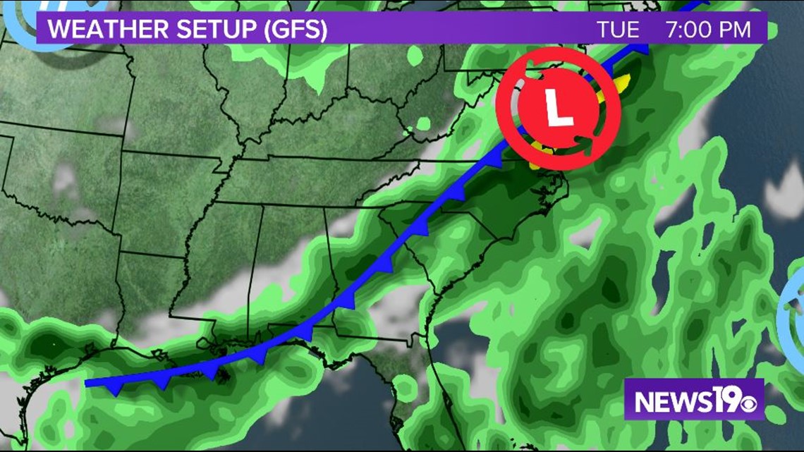
Here in the Midlands, Monday will remain hot and humid with temperatures in the mid to upper-90s and the typical chance for an afternoon shower or storm. However, as high pressure moves away from the coast Monday afternoon, a cold front will have the opportunity to push southeast.
The front will push through the area on Tuesday afternoon, ushering in northerly winds and temperatures well below average for this time of year.

Temperatures midweek are forecast to be in the mid to upper-80s across South Carolina. This will be well below the average temperatures of 93° for this time of year.
Unfortunately, while the front will bring in cooler temperatures, it will also come in the form of rain. Starting Monday evening, the Midlands could see on and off showers and thunderstorms from this cold front that last through Wednesday morning.
Rain chances decrease for the end of the work week, with temperatures remaining below average.