

COLUMBIA, S.C. — A cold front will approach the Midlands bringing the chance of showers, storms, and severe weather to the area.
The Storm Prediction Center has most of the Midlands under a marginal risk for severe weather today. Damaging wind gusts are the main concern with any severe storm that does develop. The chance is low, but an isolated tornado cannot be ruled out either.
Showers and storms will develop this afternoon. The storms will move through the area from west to east.
Here is the timing of the storms according to our latest forecast model run:
6 PM - The storms begin to push east of I-77 and begin to move into the eastern Midlands. The western Midlands begins to dry out.

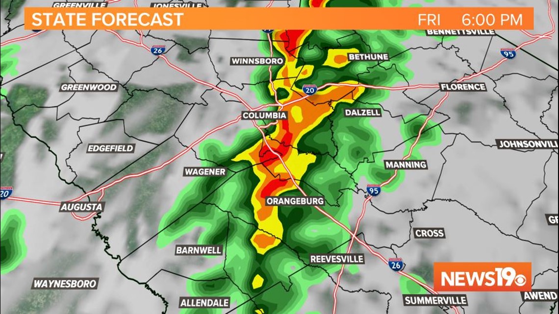
7 PM - The thunderstorms and rain moves into the eastern Midlands. The risk for severe weather in the western Midlands will be over.


8 PM - The rain and storms continues to move through the eastern Midlands


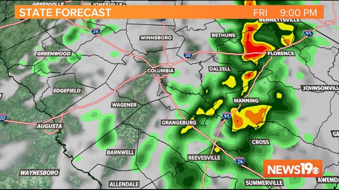
9 PM - The storms move out of the News 19 viewing area. The rain pushes towards the coast.

The timing of the showers and storms could vary a bit. We will be watching this closely this afternoon and this evening.