
COLUMBIA, S.C. — The National Hurricane Center is investigating a cluster of thunderstorms off the Southeast coast for potential development before landfall on Monday afternoon in Georgia or the South Carolina low country. The Hurricane Hunters flew into the storm on Monday afternoon and estimate winds are now reaching 35 mph.
As of the 2 pm update from the NHC, there's a 50% chance for development over the next 24 hours. The storm is not yet organized enough to be declared a Tropical Depression or storm, but has been labeled Invest 96-L in the meantime.
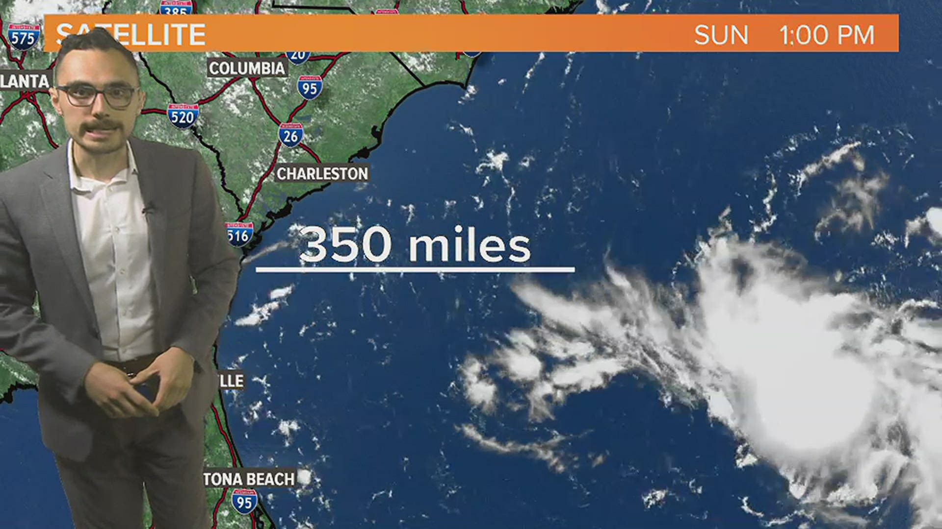
Latest satellite scans at 6 pm indicate healthy thunderstorm growth, with slightly better organization than earlier this afternoon. The thunderstorms are still firing away from the disturbance's low pressure center, but it could become better organized when it moves over the warmer waters of the Gulf Stream overnight on Sunday. Invest 96-L is located about 350 miles off the coast of Georgia as of Sunday evening.
The National Hurricane Center issues their tropical discussions 4 times a day at the start of the 2 and 8 pm hour each day. The next discussion on Invest 96-L is expected to come in at 8 pm ET, but an earlier update is possible if the storm looks enough organized enough to warrant one.

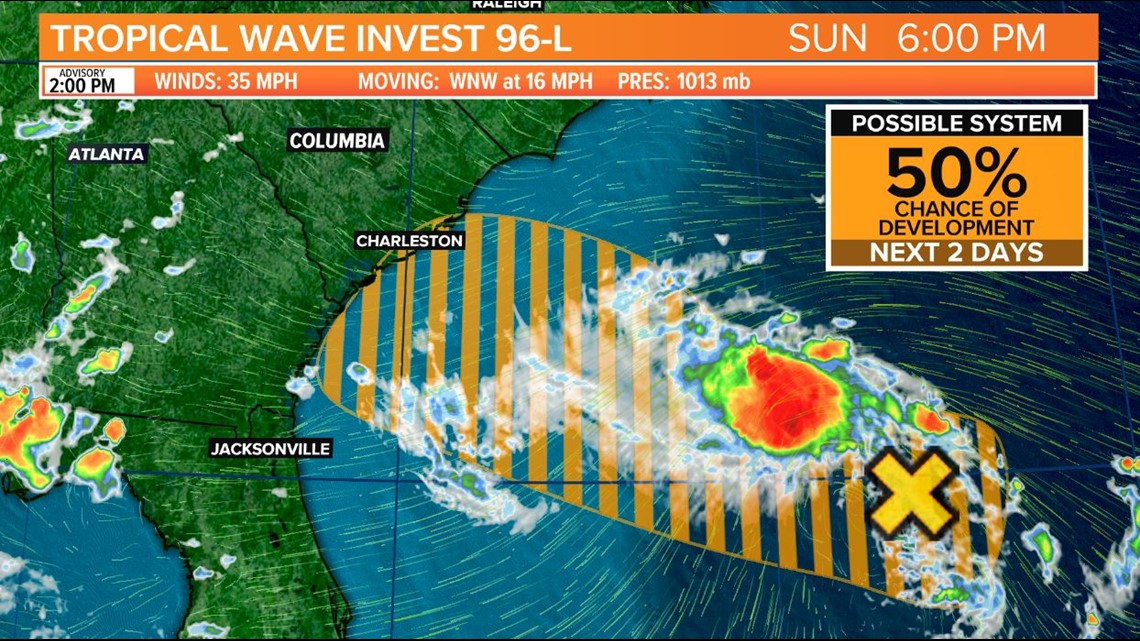
This disturbance has a small window of opportunity to strengthen before landfall on Monday afternoon. It will move over the warm waters that are above 82F overnight on Sunday. 82F sea surface temperatures are the typical threshold for healthy tropical system organization. During this time, it could briefly gain Tropical Depression or Tropical Storm status.
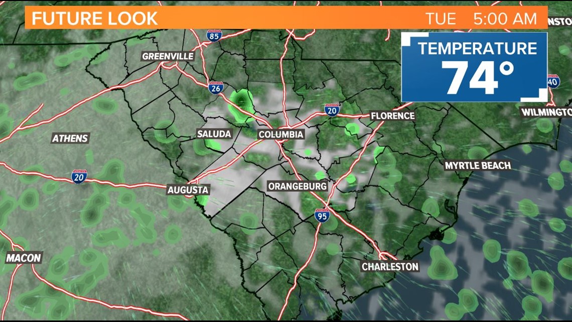
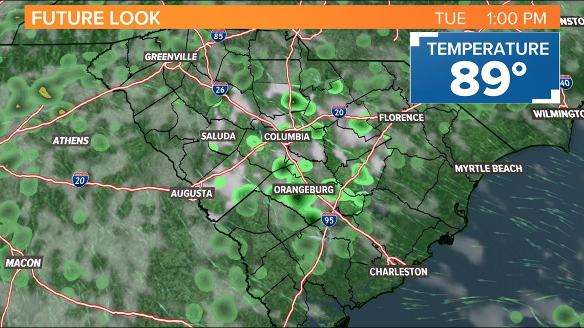
Regardless of the whether the storm organizes, bands of soaking rain will move into the eastern Midlands as early as noon on Monday and pass in and out through the day and into Tuesday afternoon. The storm will track to our south so the greatest risk for rain will be toward the low country, with more isolated showers expected in the northern Midlands.

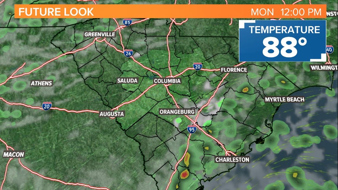

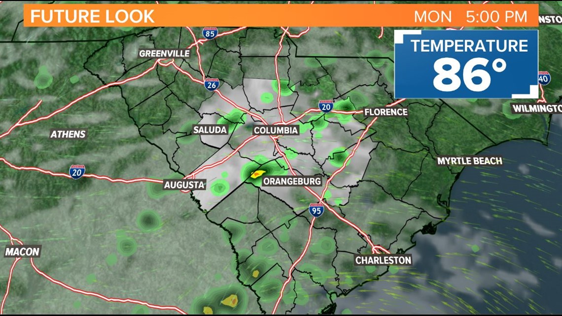


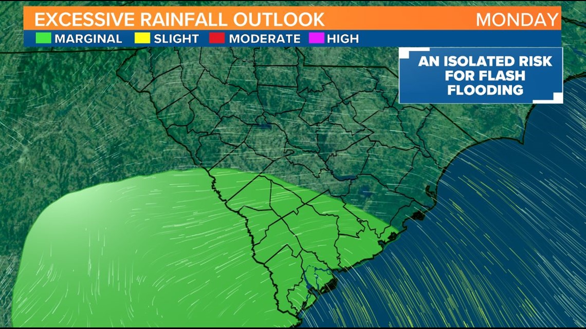
The Weather Prediction Center has issued a marginal risk for flash flooding for the South Carolina and Georgia low country including Orangeburg and Aiken counties in the Midlands.

Impacts from this storm will be low for the Midlands, but windy conditions are possible closer to the coast. The NWS in Charleston expects a moderate risk for rip currents for South Carolina beaches on Monday, 2-4 foot waves, and and winds from the northeast up to 20 mph.