COLUMBIA, S.C. — Temperatures will continue to warm through the workweek as high pressure moves to the east of the area. The next best chance for rain will be Friday as a cold front moves through the state. The weekend will be sunny and seasonable.
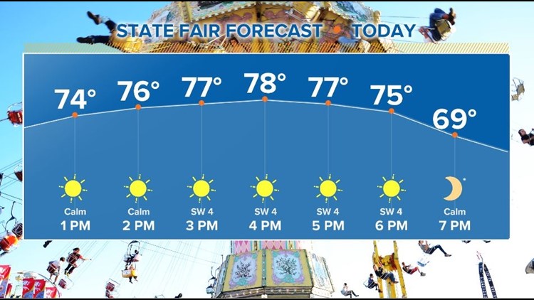
Temperatures started off chilly again this morning. Most areas dropped into the middle to lower 40s. This afternoon will be sunny and warm. Highs will be in the middle to upper 70s.
A few clouds will be possible overnight. Low temperatures will be in the middle to upper 40s. The clouds should move out during the day. Temperatures will warm into the upper 70s to near 80° Wednesday.
A few clouds will move across the area Thursday. The moisture will slowly return to the area too, but Thursday should remain dry. Highs will be in the lower 80s to middle 80s.

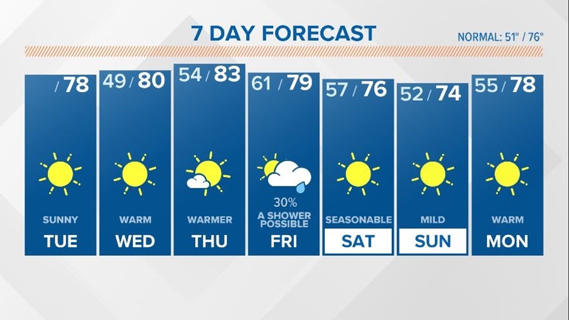
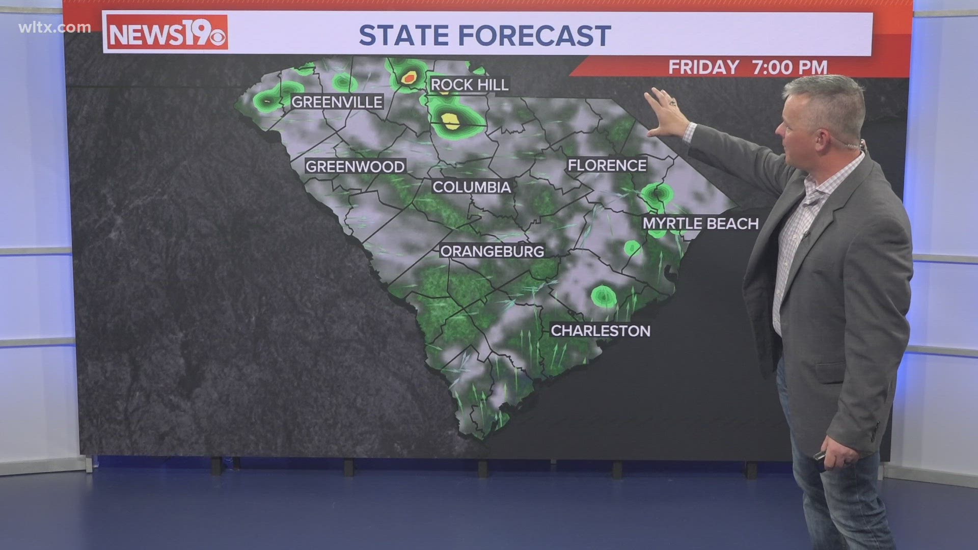
A cold will approach the Midlands Friday. There will be a slight chance for some isolated showers, but any rain will likely be very light. High temperatures for Friday will be in the upper 70s.
The front will move through Friday afternoon. Highs will be in the upper 70s. Behind the front the weather will be sunny and seasonable for the weekend.
Looking Ahead:
The Climate Prediction Center is indicating a good chance for warmer-than-normal temperatures October 26 through November 1.
Tracking the Tropics:
The Atlantic has had no named storms since Sam became post-tropical October 5. NOAA does not anticipate named storm formation in next five days.