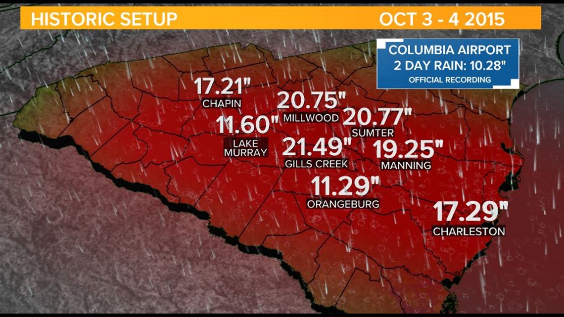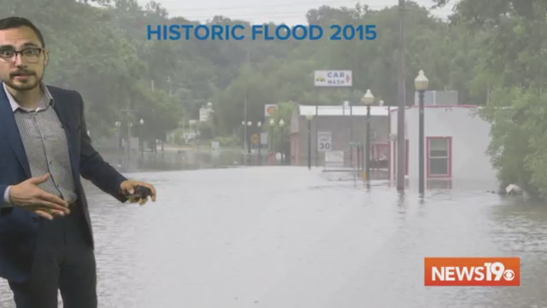
COLUMBIA, S.C. — Four years ago this week, a historic flooding event devastated South Carolina. In just 2 days, many parts of the Midlands saw more than one-third of their average yearly rainfall. In 2015, Columbia recorded its wettest October on record and the Congaree River reached its highest flood levels since 1936.
Interstate 95 was closed for 75 miles due to the massive flooding and in total, there were more than 410 roads closed across the state during the height of the storm.
The massive rain totals didn't come from a landfalling tropical system. Hurricane Joaquin helped funnel moisture into our area. The category 4 hurricane sat several hundred miles off of the coast and we never felt direct impacts from the major hurricane in the mainland US. Joaquin's moisture was able to reach the Palmetto State because of a coastal disturbance. Together the systems were in sync and brought a conveyor belt of moisture that fed into storms over the course of October 3 - 4, 2015.
More than 20 inches of rain were reported across the Midlands. The Columbia Metropolitan Airport recorded more than 10 inches of rain during the two day period, a first for the record book.