COLUMBIA, S.C. — After some refreshingly "normal" temperatures this weekend, the heat will be back in the forecast this week. Highs will be in the 90s to start off the week before 100s are once again possible towards the middle of the week with little relief in the form of rain.
Monday looks to start off cooler with some locations possibly starting off the day in the 50s. It will feel very nice as you head out the door with lower humidity in place as well. Highs are expected to get into the lower 90s which is pretty close to average for this time of the year.


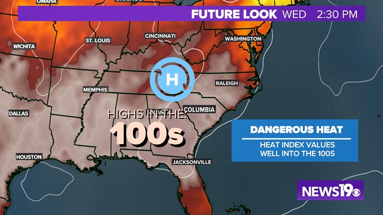
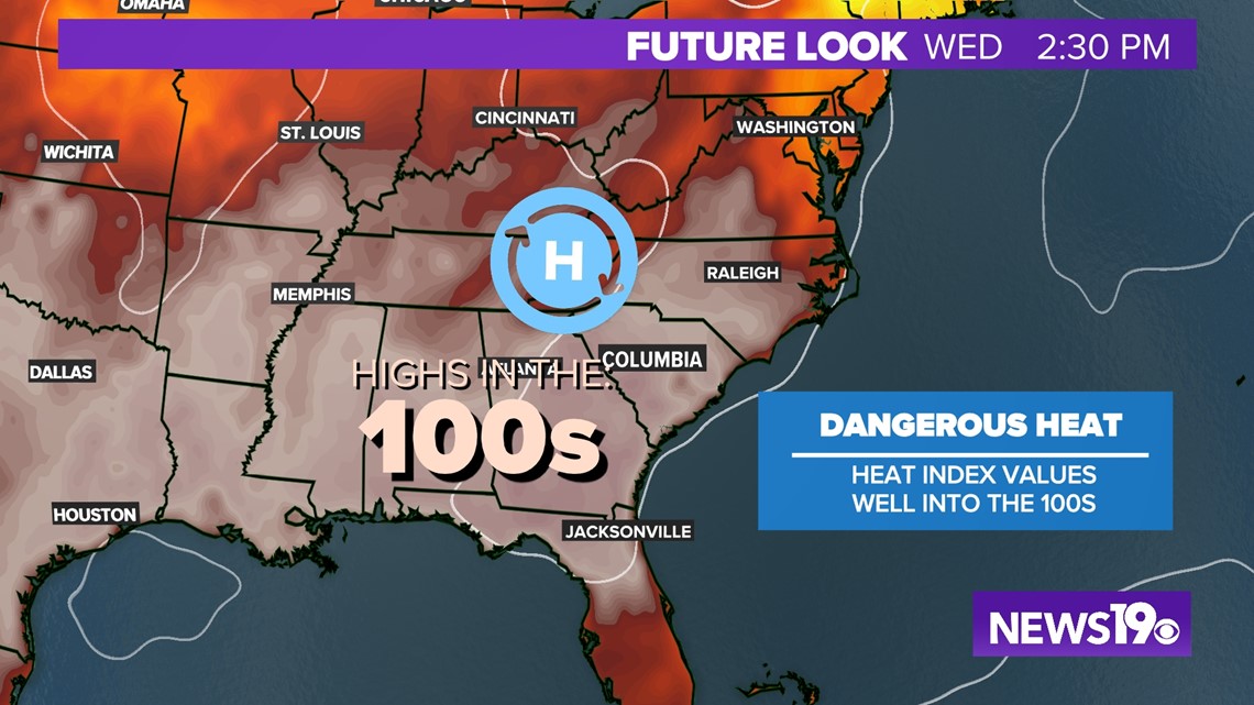
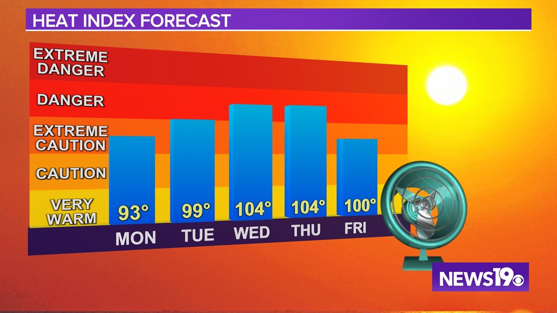
Past that, high pressure will be building in, setting the stage for another very hot week on the way. As of right now Wednesday and Thursday look to be the two hottest days of the week where we could see widespread 100°+ weather. We remain hot as a weak cold front tries to get through the region towards the weekend, bumping our temperatures down closer to the middle 90s.

Unlike last week, dewpoints will be MUCH lower. This lack of humidity will really help us out when it comes to heat index values. While temperatures will be very similar to what we saw last week, heat index values will be 5-10° lower thanks to the lack of moisture.

As for rain this week, it looks like we will have two small chances. The first will come in the form of isolated thunderstorms on Thursday afternoon and evening. The second round comes in the form of more isolated storm chances as we go into next Thursday.