COLUMBIA, S.C. — Showers and thunderstorms moved through the Midlands earlier today. Heavy rainfall impacted parts of the area. The rain will continue to move out of the state through the day. Cool, high pressure will build in for the last few days of the workweek. Temperatures will warm over the weekend, but some rain will be possible.
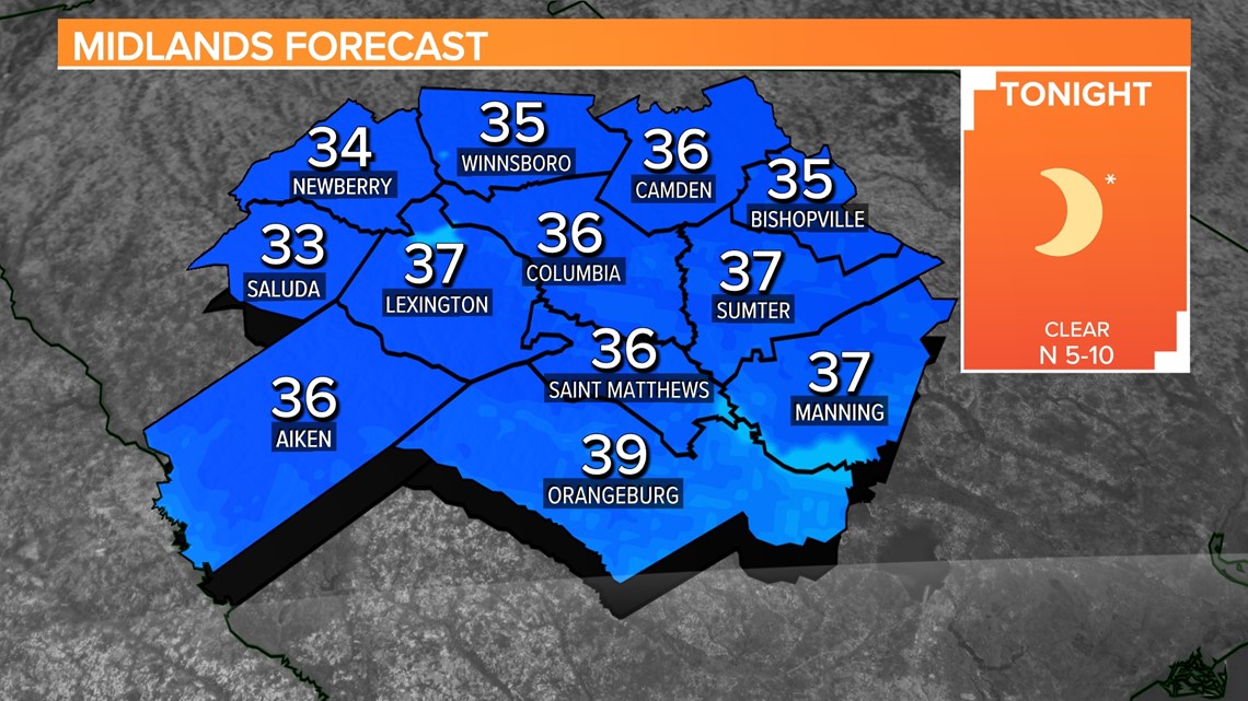
Clouds will continue to decrease during the afternoon hours. High temperatures will climb into the upper 60s to lower 70s later today. Colder air will spill into the Midlands tonight. Low temperatures will start off in the middle 30s Thursday morning.
A few clouds will move across the area Thursday afternoon, but it will be noticeably cooler. High temperatures will top out in the middle 50s during the day.

A few more clouds will be possible Friday. High temperatures will be in the upper 50s. Our in-house forecast model is indicating the small chance for rain Friday night, but as of now, we will leave rain out of the forecast.
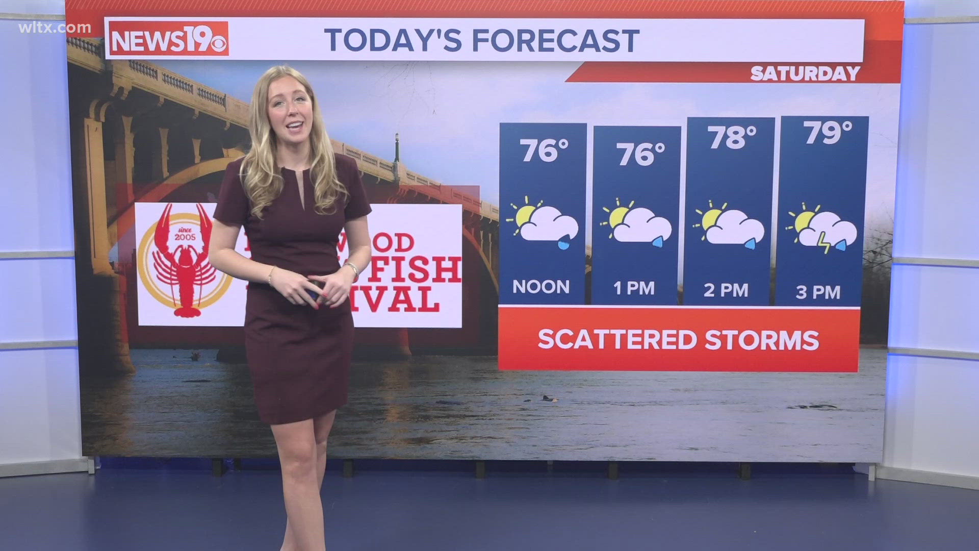
Temperatures will warm up over the weekend. The clouds will stick around. Partly cloudy skies are expected for Saturday. Temperatures may climb into the lower 70s. There will be a small chance for some rain in the form of isolated showers.
A few isolated showers will be possible Sunday. Highs will be in the middle 60s. A few stray showers will be possible, but a lot of rain is not expected.
Some rain is probable Monday and Tuesday. High temperatures will still be above normal.