
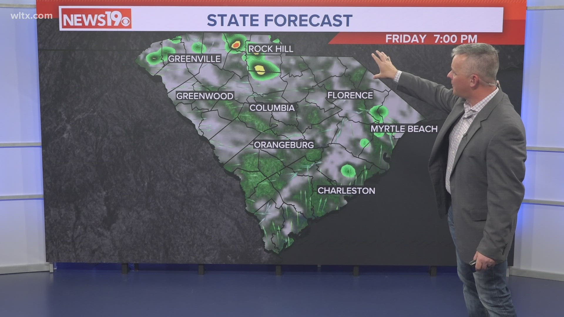
COLUMBIA, S.C. — We had a few showers and storms that moved through the Midlands today. There was a severe thunderstorm warning, but there have been no damage reports. Partly cloudy skies are forecast for the rest of the day. There could be a shower or another thunderstorm this evening and tonight.
Yesterday, we hit 90 degrees. That is the hottest temperature of the season so far. It was also the first time the Columbia airport has reached 90 degrees since September 11. It will not be as hot today, since the rain moved through and helped cool the air. Temperatures will likely be in the middle 80s.

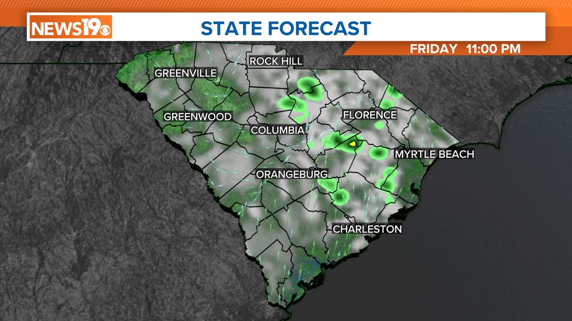
A shower or storm will be possible this evening and tonight. The Storm Prediction Center has most of the area at a marginal risk of severe weather today, but any activity will be isolated at best.
A marginal risk for severe weather means that isolated severe thunderstorms are possible but are limited in coverage, intensity, or duration. At a marginal risk, damaging winds and large hail are possible but isolated. A tornado can also occur, but the chance is usually low.
A few showers and storms are possible Saturday afternoon, but once we lose the daytime heating, the chance for rain will decrease. High temperatures on Saturday will be in the middle 80s.

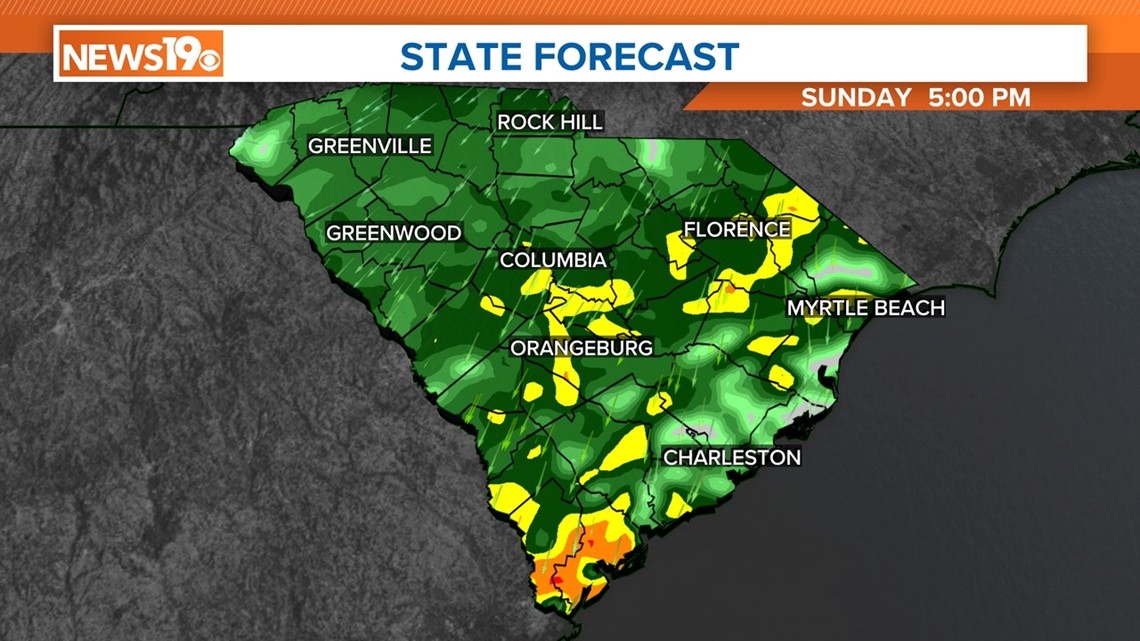
The chance for rain will be greatest on Sunday. Widespread rain is forecast for Sunday. Temperatures will be noticeably cooler for the second half of the weekend, with highs in the middle to upper 60s.