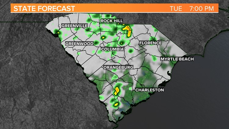
COLUMBIA, S.C. — Skies will be overcast. Rain will continue to move across the Midlands as a cold-air wedge develops. Dry weather will return to the area Wednesday. The clouds should start to decrease tomorrow. Temperatures will remain below normal over the next several days has cold-high pressure settles over most of the United States.
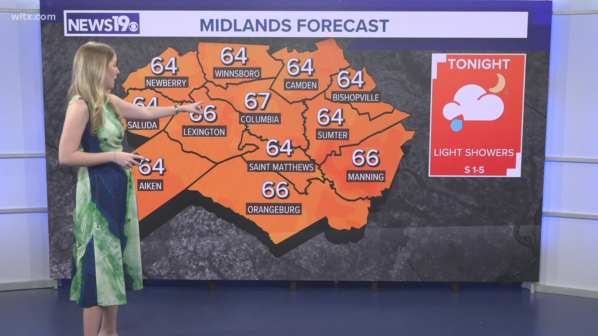
Showers are likely today as a cold-air wedge remains over the area. High temperatures will be a bit tricky. With the wedge in place, the southern Midlands may warm into the upper 50s to lower 60s. The northern Midlands may stay stuck in the upper 40s to near 50 degrees.

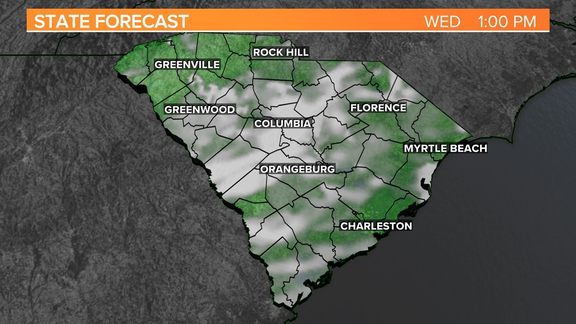
The wedge will breakdown late tonight and tomorrow. Some sunshine is possible Wednesday. It will remain mostly cloudy. High temperatures are expected to hit the middle to upper 50s. Some parts of the Midlands could reach the lower 60s.
A colder air mass will push into the state Thursday. It will be mainly sunny Thursday and Friday. High temperatures both days will be in the lower 50s. Friday morning could be our coldest morning of the season. Temperatures may fall into the middle to upper 20s early Friday.

Quiet, cool weather is expected over the weekend. Skies will be partly cloudy Saturday and mostly sunny Sunday. Highs will top out in the middle 50s Saturday, but lower 50s Sunday.
Looking ahead to Thanksgiving week:
The clouds will increase Wednesday. Temperatures are forecast to remain below normal. Scattered showers are expected for Thanksgiving, but most of the rain should be out of the area by Black Friday.