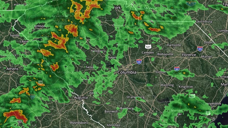
COLUMBIA, S.C. — The risk of severe weather in South Carolina is diminishing, as a line of showers and thunderstorms has lost its energy as it's moved closer to the state Friday.
The Storm Prediction Center had put most of South Carolina at a slight risk (Level 2 out of 5) for severe storms when the day began. However, late Friday afternoon, that was dropped to a marginal risk (Level 1 out of 5).
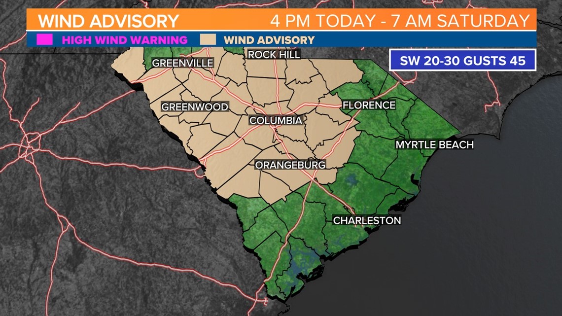
While a risk of severe storms is still there, is is low. For now, the greatest risk are gusty winds. A wind advisory remains in effect until 7 a.m. Saturday, where winds of 20-30 with gusts up to 45 are possible.
. There could be a few power outages and tree limbs that are blown down. Driving in such strong winds can be challenging, particularly for vehicles with a high profile. Use extra caution if you are going to be travelling.

Drier air will spill into the area behind the cold front. It will be sunny, windy, and cooler on Saturday. Highs will be in the lower 50s. Sunday will be seasonable, with afternoon temperatures in the middle 50s.
Dr. Martin Luther King Jr. Day will be partly cloudy, with highs in the middle 50s. There will be a chance for rain early Tuesday. Much colder air will arrive in the area by Wednesday..