
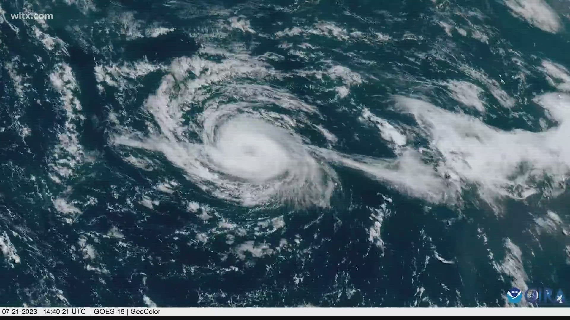
COLUMBIA, S.C. — Hurricane Don reached Category 1 status in the North Atlantic on Saturday making it the first hurricane of the 2023 season.
You might wonder how the National Hurricane Center was able to record the 75 mile per hour winds in a storm in the middle of the ocean.
Over 22 thousand miles above the Earth’s surface, NOAA has 5 satellites sitting and watching our weather for decades at a time. The Geostationary Operational Environmental Satellites were first launched in 1975 and are now served by 3rd generation satellites as our main tools for observing weather over our oceans but also the entire Eastern hemisphere.

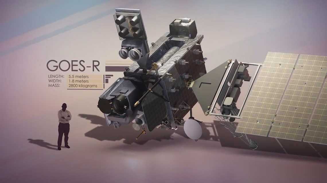
The main feature of the GOES satellite is its Advanced Baseline Imager which is essentially a group of different cameras. These satellites can take images as quickly as once every minute to show changes in our weather systems.


Along with basic images, these satellites can take images in infrared and show us heat, lightning, and water vapor in our atmosphere.
Using water vapor imagery of hurricanes these satellites use advanced algorithms to detect movements of specific features. This creates the best guess for wind speeds based on the movement.

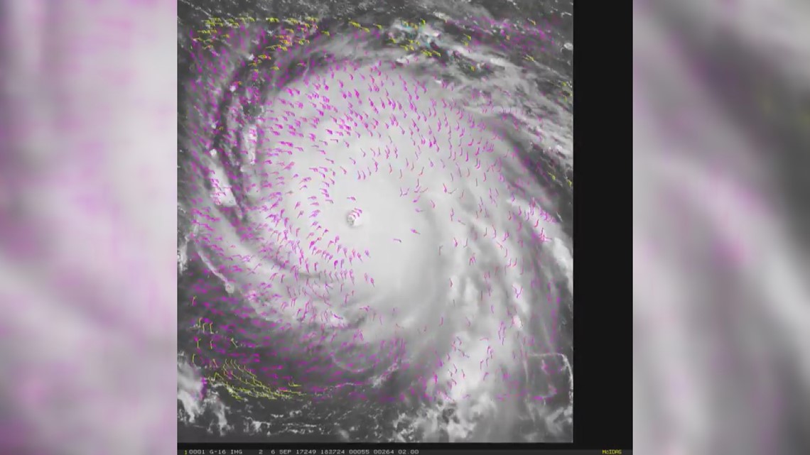
This past weekend this data confirmed that Don had reached 75 mph winds only for a brief time even without a measurement at the surface.
Not only does this help us more accurately name and rate storms than we did before satellites existed, but helps input better information into our weather models to give an accurate forecast.