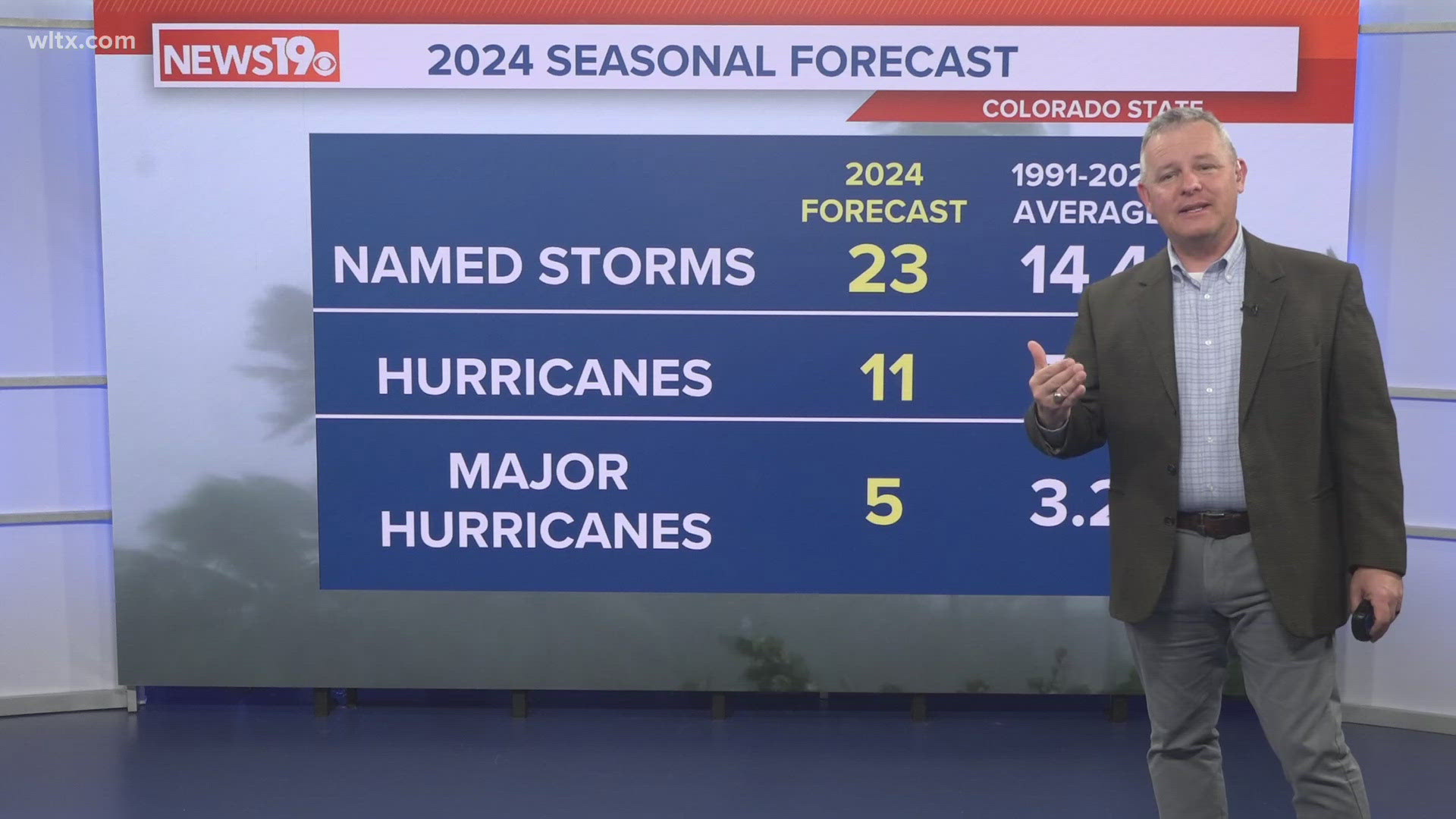
COLUMBIA, S.C. — Before getting into Tropical Storm Idalia, Hurricane Franklin became a Cat 1 storm on Saturday, Aug. 26. It is expected to become a major hurricane this week in the Atlantic. It could impact Bermuda along its path, but rip currents will be the biggest concern for the U.S. East Coast.


This weekend, all eyes will be near the Yucatan Peninsula in Mexico as Tropical Depression 10, which just became Tropical Storm Idalia, begins to get its act together. The National Hurricane Center put out a track for the low, which is expected to strengthen into a hurricane before making landfall in Florida midweek.
As of Sunday morning, the low pressure, just off the Mexican coast, is looking pretty healthy. It is expected to meander in the area for the next one or two days and could gain some strength over some very warm waters.
Waters in the southern and central Gulf of Mexico are ranging in the upper 80s, which is extremely warm. Technically, you only need 80-degree water to maintain a tropical system. This means there will be plenty of energy to work with for Idalia.


Overall, shear looks low and moisture high, which would be the only things that could hold back development for this system over open water.
Let's talk strength and track. Currently, most hurricane models and the GFS model are trending towards a more westerly track, with landfall around the Big Bend region of Florida around Wednesday. The European model has a more easterly track, likely resulting in a weaker storm overall.
Since we don't have a defined area of circulation yet (hurricane hunters are expected to fly out Sunday morning), expect a lot of changes in the next 24 hours when it comes to track possibilities.
Strength is one of the most difficult parts of tropical weather to forecast. Currently, models are staying weaker, with a tropical storm or low-end hurricane possible midweek in Florida. A few models with higher predictions will need to be watched for trends. I wouldn't worry too much about those stronger models until we get about 48 hours out from now and see how the system is doing.


Finally, let's talk about the Carolinas and Georgia. The path will change impacts greatly. With what we have right now, a more westerly track would increase rain and the threat of tornadoes. An easterly track like the Euro model would keep most rain and impacts along the coastal regions.
We will update you as we get closer to development, so keep posted!


