COLUMBIA, S.C. — During our summer months if you look at the sky you will likely see puffy, white clouds. These clouds are in stark contrast to the gray and cloudy days we can see in our colder months. There’s actually a reason why our skies can look so vastly different and it comes down to different conditions that we see in each season.
In the hotter months, sunshine heats up the surface air and causes it to rise. This moisture-rich air begins to cool down and condense into clouds. We typically see the cotton ball-looking cumulus clouds in our sky but can see large cumulonimbus thunderstorms if the upward motion is strong enough.


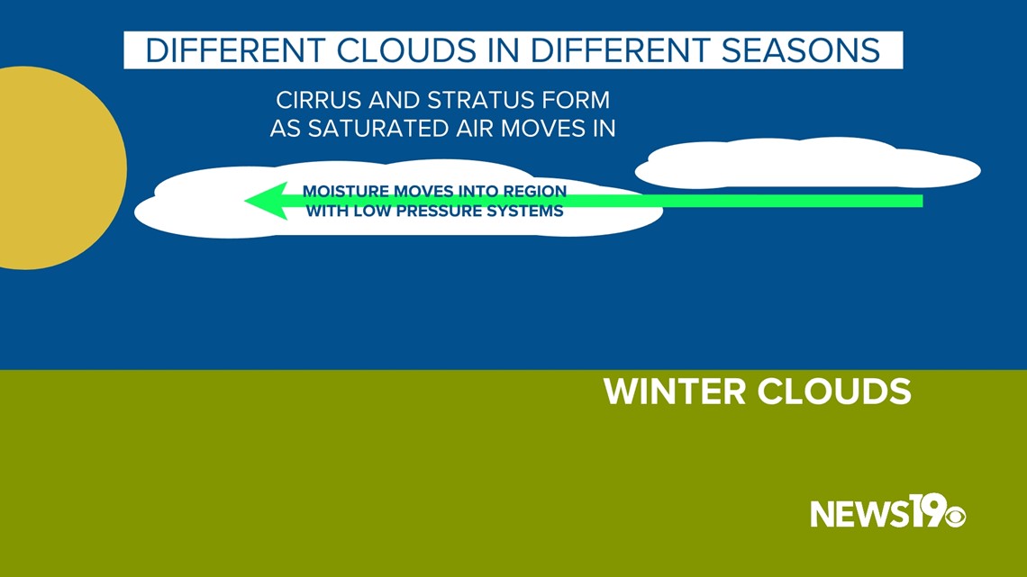
During the cooler season, our ground temperatures are much cooler so we get clouds in different ways. For the most part, our clouds are brought into the region as moisture is transported into the area with low-pressure systems. This results in wispy cirrus clouds and the gray blankets of stratus that can completely block out the sun.


Because of this clouds can be a very good indicator of weather that is on the way. Cirrus clouds especially can be a sign of rain or snow on the way in the coming days as moisture moves into the region.
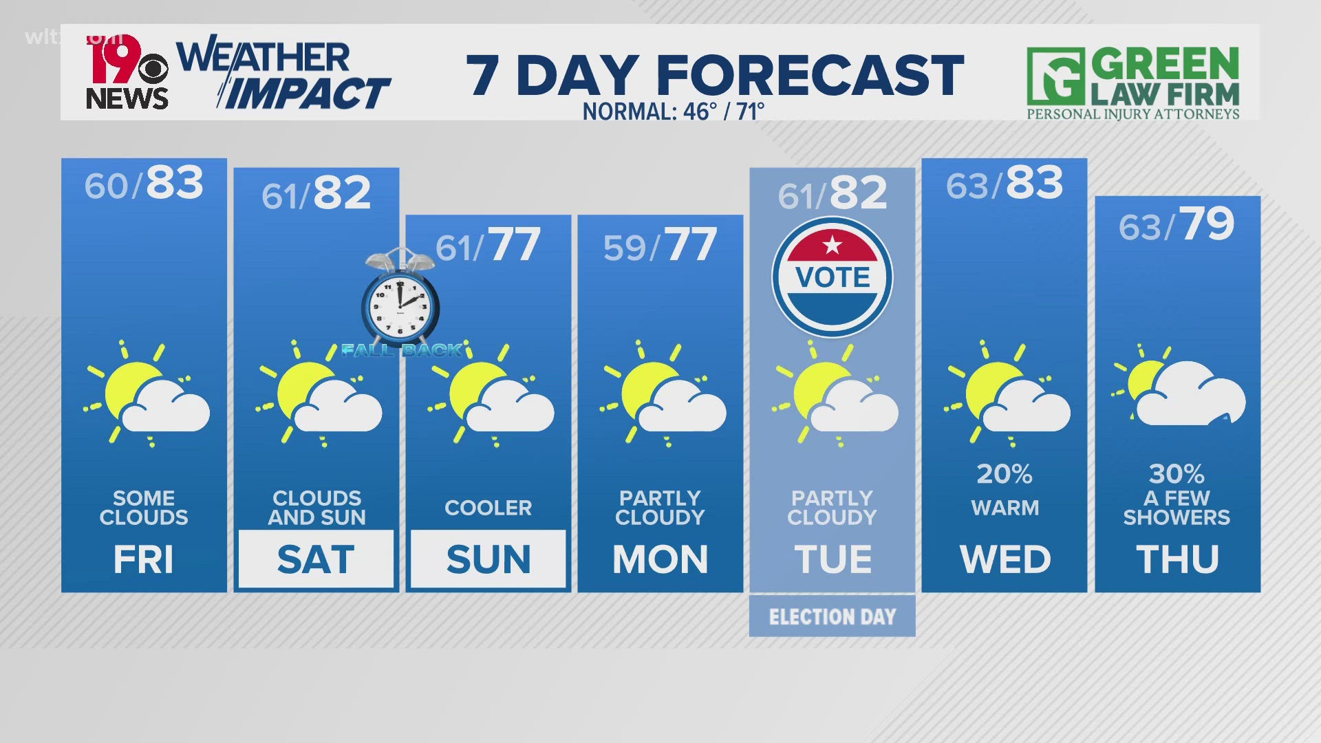
This week we might have to wait to see any of these clouds as sunshine sticks around through midweek before the gloomy and gray weather returns to end out the week.


