
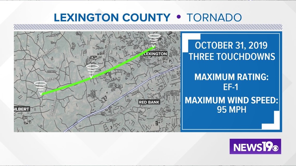
LEXINGTON, S.C. — The National Weather Service says there were "multiple, brief tornado touchdowns" in Lexington County caused by Thursday's storms.
The agency confirmed Friday that storm survey teams found evidence of damage consistent with a tornado. The twister was an EF-1, which is the second weakest on the system that rates tornado intensity. However, the storm still packed estimated winds of 95 miles an hour.
It touched down three separate times over an eight mile stretch.
Here are the three touchdowns the weather service was able to confirm:
5:59 p.m. - The tornado touched down near the intersection of Roy Steele Road and Crosby Road northeast of Gilbert. It ended near the intersection of Drawbill Road and Austin McCartha Road. Much of the damage was confined to trees that were both hardwood and softwood. The tornado downed large tree limbs, uprooted a tree and snapped a couple of soft wood trees approximately 20 to 30 feet off the ground.The strong winds blew a piece of sheet metal that wrapped itself around a tree trunk.
6:20 p.m. - The twister then touched down near Clinton Sease Farms along Olde Farm Road. The tornado continued northeast and uprooted and snapped nearly two dozen trees between Olde Farm Road and Rabbit Road. A small wood building at the farm lost a good portion of its metal roof. The tornado ended as it crossed Rabbit Road.
6:09 p.m. - The final touchdown occurred near Lexington Middle School near the intersection of Dreher Street and Harmon Street. A large hardwood tree broke and took down a power line. A small hardwood tree was snapped about 30 feet off the ground. There were several large limbs that came down on a power line along Harmon Street. Portions of a wooden fence were blown over behind a home along Dreher Street.
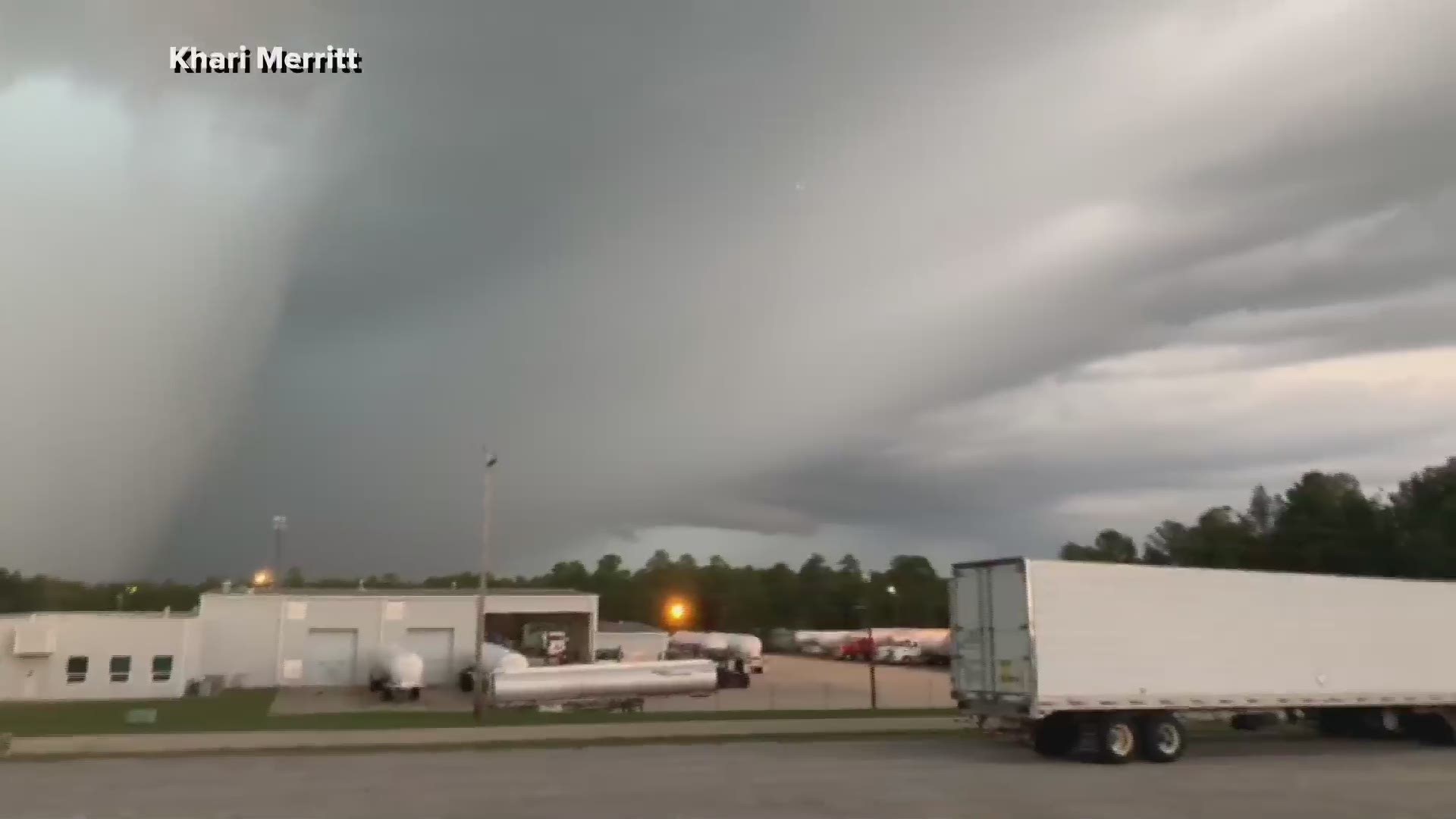
A tornado warning was issued for Richland and Lexington Counties. A video submitted to WLTX showed a large, ominous cloud in that area that was consistent with the location that the radar-indicated tornado was detected.
The storm caused some trees to be blown down and minor structure damage, but there were no injuries.
The trouble weather was triggered by a cold front that pushed into the Southeast. The front brought cold air, which is going to lead to the first frost of the season in the region, perhaps as early as Thursday morning.