COLUMBIA, S.C. — Seasonable weather is in store for our Tuesday. High temperatures this afternoon will climb into the low to mid 70s, near or slightly above the average of 72 degrees.
Winds are shifting out of the southeast. Because of that, we will see clouds increase throughout the day with skies becoming mostly cloudy this evening. As a warm front lifts north through the area, we could see a stray shower in the evening and into the overnight hours. We are not expecting any storms today.
Skies will remain mostly cloudy overnight and will keep low temperatures very mild and only in the lower 60s.

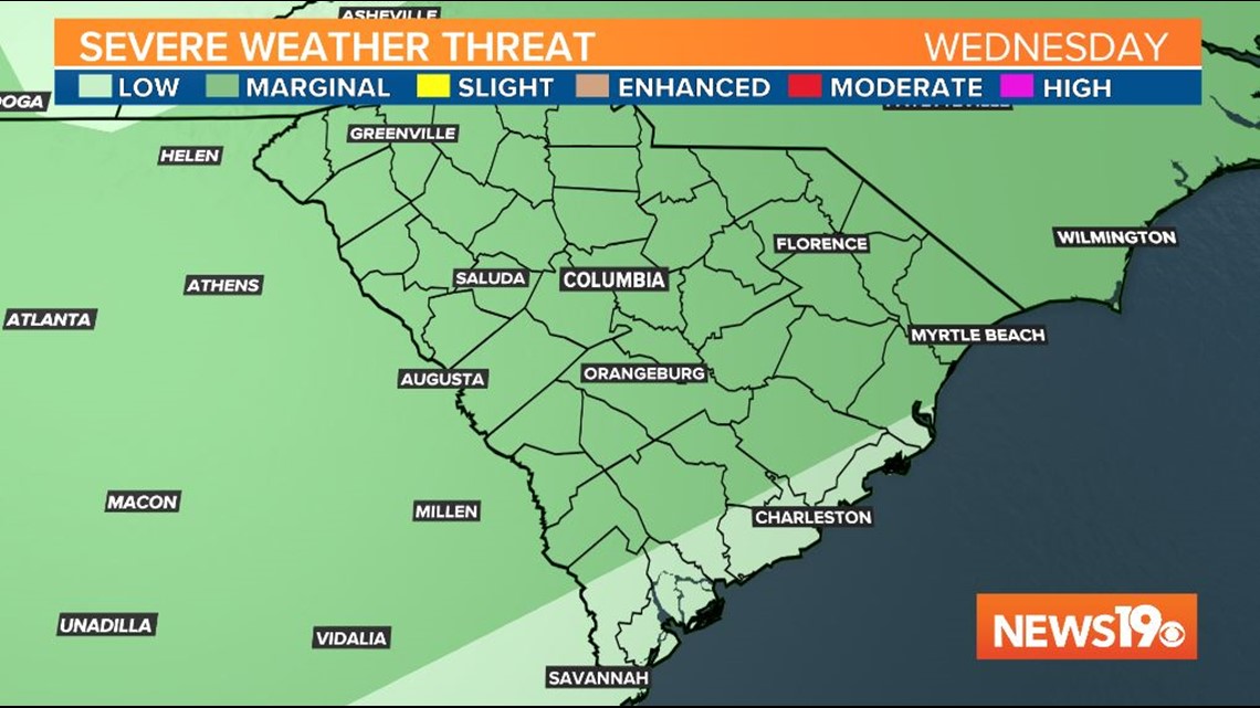
Wednesday will be mostly cloudy, warm, and humid ahead of an approaching cold front. The day will start off mostly dry, but by the late evening and early overnight hours a cold front will move through and bring a line of showers and storms through the region.


The entire Midlands are now under a marginal risk for severe weather from the Storm Prediction Center, which is a one out of five risk for severe weather. If a storm does become strong or severe, damaging winds would be the biggest concern.

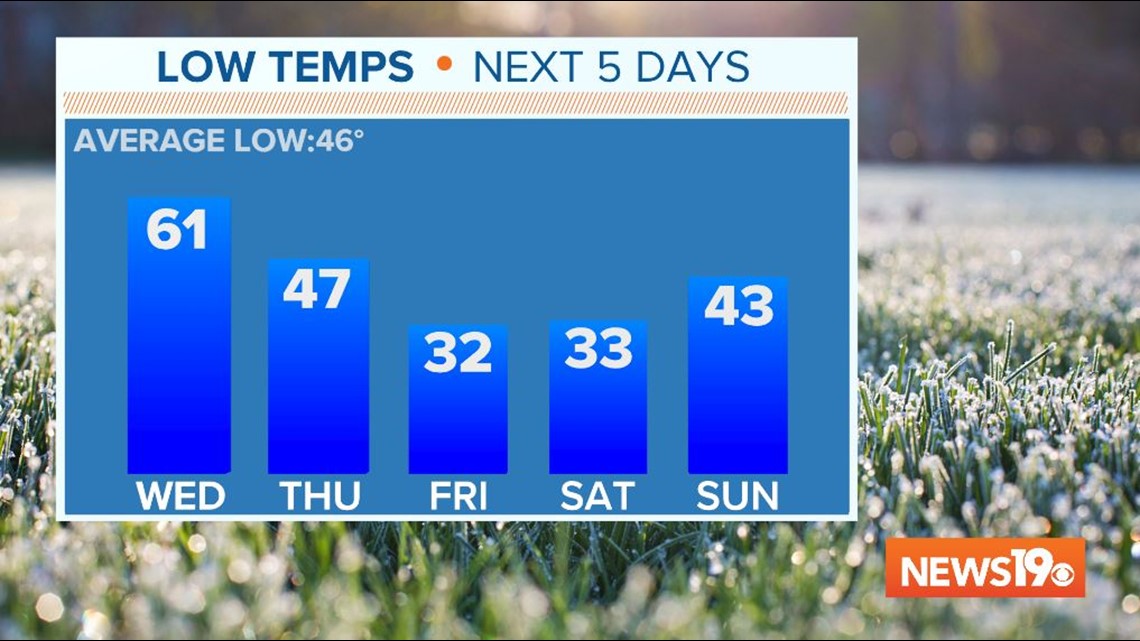
Temperatures will be much colder behind the front. Highs on Thursday and Friday will only be in the 50s, with low temperatures near freezing. We will need to watch out for a frost or a freeze and any tender plants will need to be brought in or covered to protect them from the cold.

Easter Weekend will begin on the cool side, with high temperatures Saturday in the mid 60s. By Sunday afternoon, high temperatures will be in the mid 70s with sunny skies.