
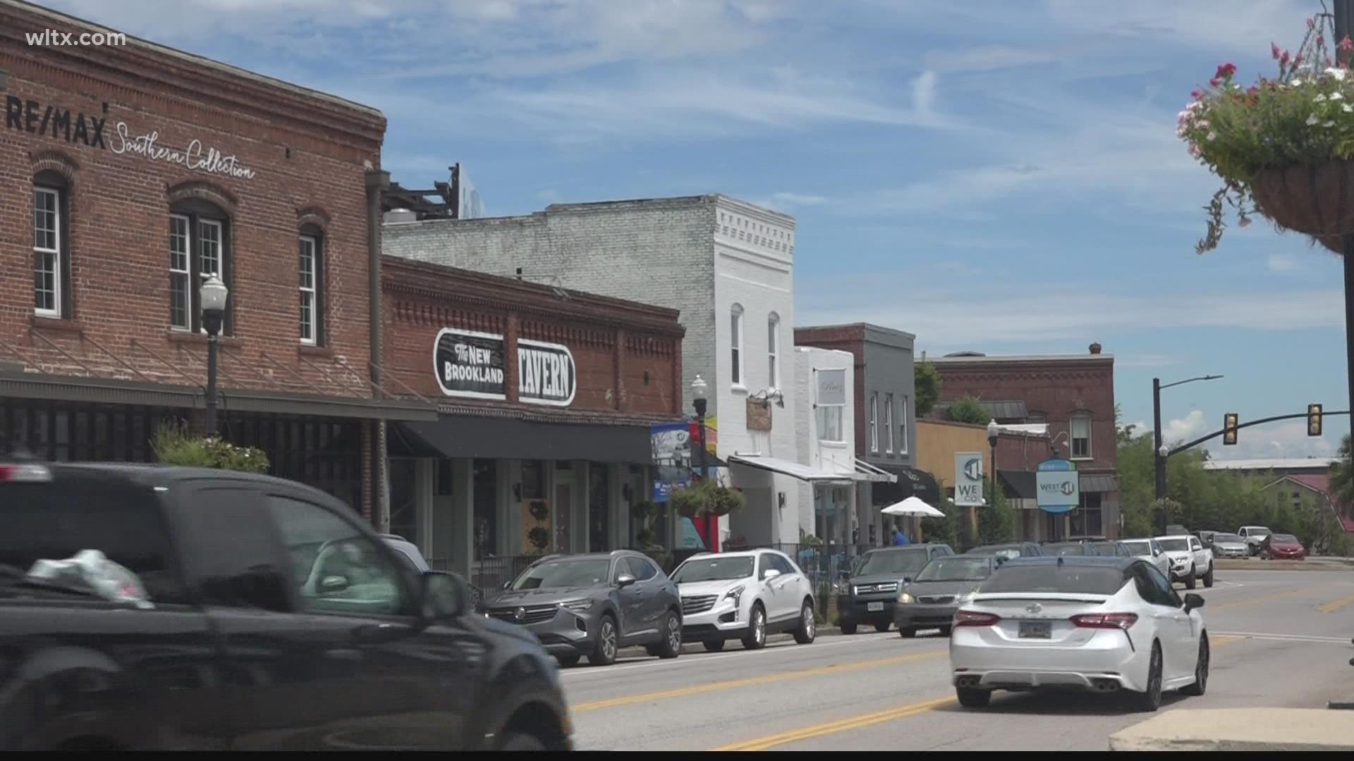
WEST COLUMBIA, S.C. — Right now West Columbia is looking at redrawing district lines. This comes after reviewing their latest data from the 2020 census.
That means streets across West Columbia could be a part of new districts. That's if council adopts a redistricted map later this month.
"Each legislative body including the city council arrives at their proposal for a map. There are some checks and balances, that we had to go through other organizations to make sure that everything passes muster, but we've arrived at a map that has been approved," Tem Miles, West Columbia mayor said.
West Columbia's mayor Tem Miles tells News 19 they got approval from the South Carolina Office of Revenue and Fiscal Affairs.
Cities can undergo a decent amount of change as a decade passes.
"Over that 10 year period we've had a 25% increase in the population of West Columbia and that population hasn't all occurred evenly across our city. We've also had some expansion of our geographical boundaries of the city and all those areas had to be represented, so we have put those folks who've come into our city geographically from annexations into one of two council districts," Miles said.
This could impact where some people living in the city vote, but not for the upcoming election this year.
The mayor explains the redrawn map will make the geographic makeup slightly larger and smaller in all eight districts.
In the new map, each district will have about 2200 people.
Council will host a public hearing Monday night at six o'clock, before the regularly scheduled special council meeting. Then the redrawn map needs two readings to pass.
Click here to view the existing district map.
Click here to view the proposed new map.