COLUMBIA, S.C. — Another warm day today with showers and storms likely this afternoon as a strong cold front moves east. The front, which brought severe weather across the Deep South yesterday, could bring strong storms and damaging winds to the Midlands as it moves through.
The start of our day is quiet with mild temperatures. Low temperatures only dropped into the mid to upper 60s. We'll climb into the low to mid 80s this afternoon ahead of the cold front.
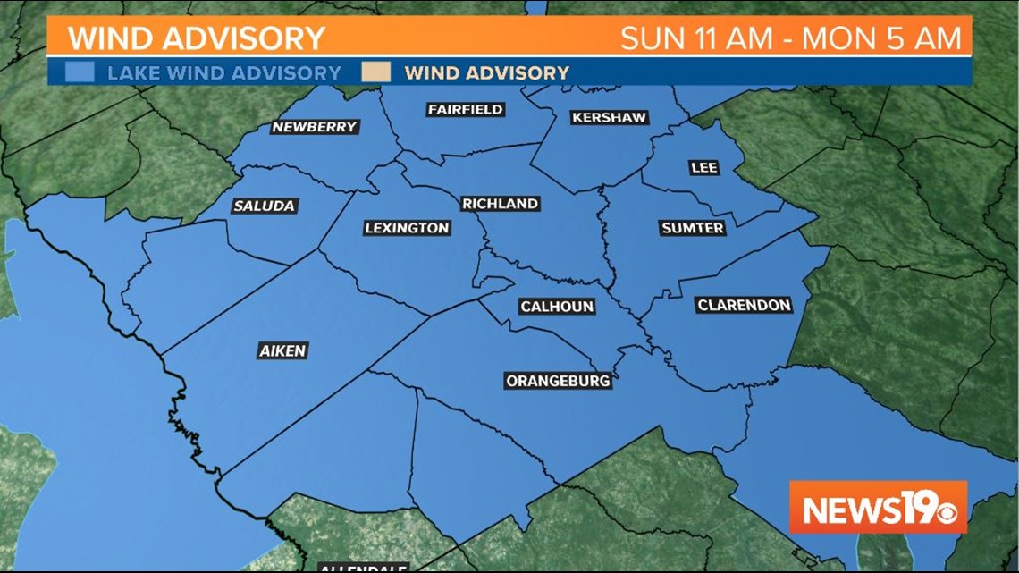
Winds will also be high today with sustained winds out of the south at 15-20 mph with gusts closer to 30-35 ahead of the front. A Lake Wind Advisory is in place for the area through Monday morning.

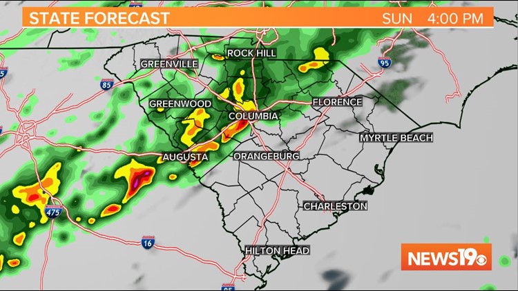
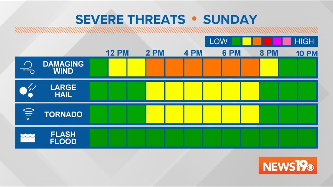
We could see a stray shower this morning and early this afternoon, but the main line of storms will start to move into the western Midlands around 1-2 pm. The line is expected to push through the I-20 corridor and Columbia between 3-4 pm. It will then continue pushing east and will move through the eastern Midlands around 5-6 pm. After dinnertime, a few showers are possible but the main line of storms will have cleared the area.
Columbia and areas north are under a slight risk for severe weather, which is a 2 out of 5 on the severe weather scale. The southern Midlands are under a marginal risk, or a 1 out of 5. If storms do become severe, damaging wind gusts are our biggest concern. Isolated hail is also possible. A brief spin-up tornado cannot be ruled out but is not likely today.

Skies will quickly clear this evening and Monday will be much more seasonable with lows in the upper 40s and highs in the upper 60s under mostly sunny skies.
However, the nice weather does not last too long. The cold front that moves through today will stall to our south and eventually lift back north as a warm front on Tuesday. That brings back the chance of some rain Tuesday afternoon, with some storms possible on Wednesday.
The second half of the week looks drier and cooler than normal with high temperatures not breaking out of the upper 50s to lower 60s on Friday and Saturday. We're also looking at morning lows back in the 30s for Easter weekend. So it's best to hold off on any planting for at least another week.