COLUMBIA, S.C. — The start of Hurricane is on June 1st. Over the past 7 years we have seen a name storm form before this official start. Once again it looks like the tropics are making a push to extend this streak.
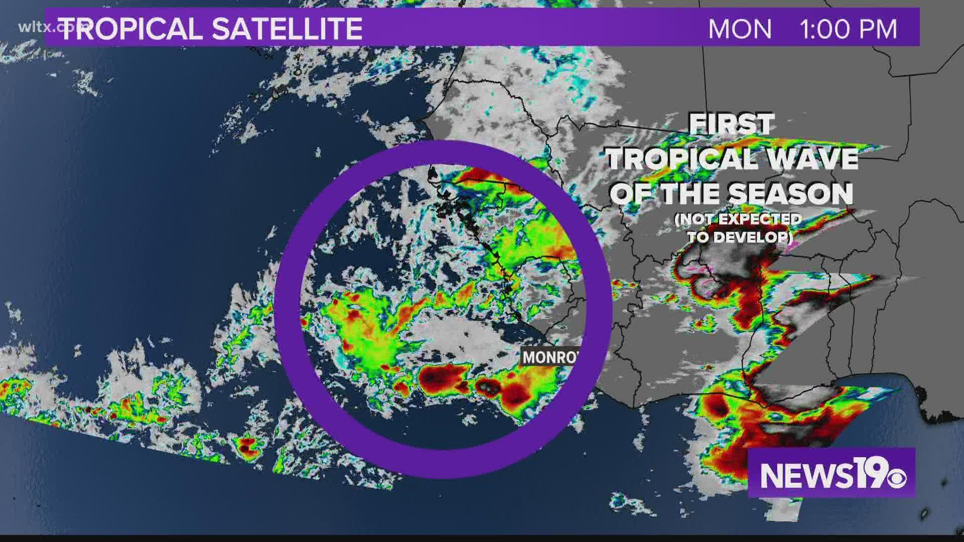
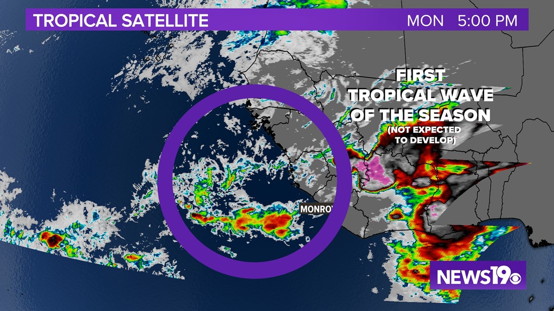
Let's start off the coast of Africa. The first tropical wave of the season is being tracked by the National Hurricane Center. The good thing with this area of thunderstorms, is that the NHC expects this to weaken and not turn into anything tropical at this time.

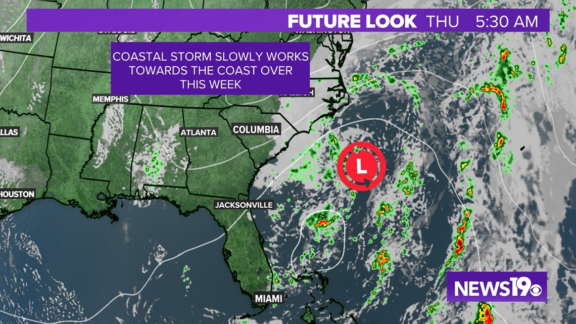
Closer to home, we will be watching a coastal storm off the Carolina Coast for the chance of development into a Subtropical System.

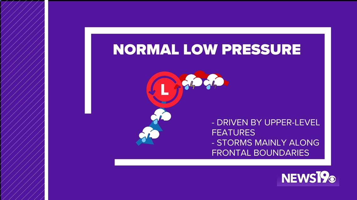
Before we get into those chances, here are the differences between normal, tropical, and subtropical lows:
Traditional low pressure systems are what we see moving across the United States. They are influenced by upper-level features and also feature frontal boundaries that bring storms and temperature changes.

Tropical low pressure systems are instead driven instead by warm water temperatures. The lows have thunderstorms that rotate around the center along with the fact that these systems do not have fronts.


As for a subtropical system, they are a hybrid of the two. Storms will rotate around the center but, the system will still have fronts. An important thing of note is that these systems still need warm water to organize.


That is where we run into some issues this week. The low pressure will be moving over the gulf stream around Wednesday and Thursday which has warm water but, this might not be enough for it to get organized in time.


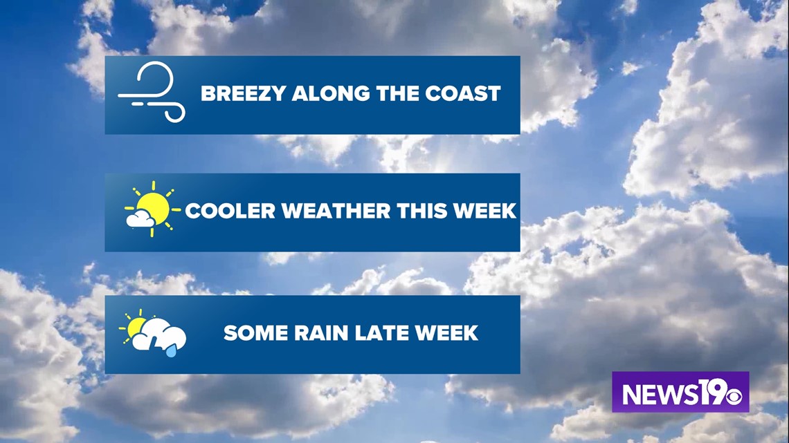
Regardless of the outcome this week, here in South Carolina we expect breezy weather along the coast, with pretty nice weather setting up here in the midlands. Eventually the system moves onshore and we see rain return to the forecast.